At Boyles Infosys, we understand that whether you are scouting for precious metals, mapping mineral deposits, or identifying oil and gas reserves, the success of your extraction depends entirely on the quality of your intelligence.
In the modern gold rush, we provide the “picks and shovels”—the elite-grade sensors, drones, and ground-penetrating radar systems that turn a guessing game into a precision operation. We partner with the world’s leading manufacturers to ensure your survey teams have the most advanced sub-surface imaging technology available.
Our Strategic Hardware Partners
We curate our inventory from the top tier of geophysical and aerial technology to provide a comprehensive toolkit for exploration:
-
Hexagon (Leica Geosystems & IDS GeoRadar): The industry standard for total site integration. We provide their multi-frequency GPR arrays and high-precision survey tools for firms that require a seamless, professional ecosystem.
-
GSSI (Geophysical Survey Systems, Inc.): For customers focused on what lies beneath, GSSI is the gold standard. Their specialized antennas are engineered for the deep geological surveys required to locate mineral and energy assets.
-
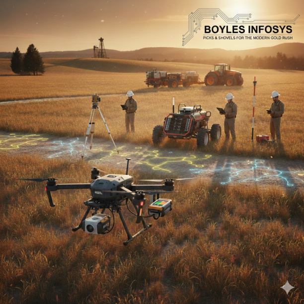
RIEGL Laser Measurement Systems: We offer RIEGL’s survey-grade LiDAR sensors for high-end aerial mapping. These systems allow for centimeter-level terrain modeling, even through dense vegetation on large-scale farm or forest tracts.
-
DJI Enterprise: As the most versatile platform in the field, we supply DJI’s Matrice series drones. These serve as the perfect carrier for both Zenmuse LiDAR and third-party GPR payloads, offering an unbeatable price-to-performance ratio.
-
Guideline Geo (ABEM & MALÅ): Built for the rigors of mining and deep exploration, Guideline Geo equipment is our go-to for remote or harsh environments where traditional radar is insufficient and seismic resistivity is required.
Why Partner with Boyles Infosys?
We don’t just sell hardware; we provide the technical foundation for your discovery. By equipping your survey teams with our specialized GPR, LiDAR, and UAV solutions, you gain:
-
High-Resolution Sub-Surface Imaging: Identify targets with surgical precision before moving a single ounce of earth.
-
Rapid Aerial Reconnaissance: Cover hundreds of acres in a fraction of the time required by ground-based teams.
-
Data-Driven Extraction: Minimize risk and maximize ROI by knowing exactly where your resources are located.
The Hunt Ends Here.
At Boyles Infosys, we provide the technology that makes the “invisible” visible. Secure the most advanced exploration tools in the industry and ensure your next survey is a success.
Would you like me to draft a “Partner with Us” section for your website to help you secure authorized dealer status with these manufacturers?